
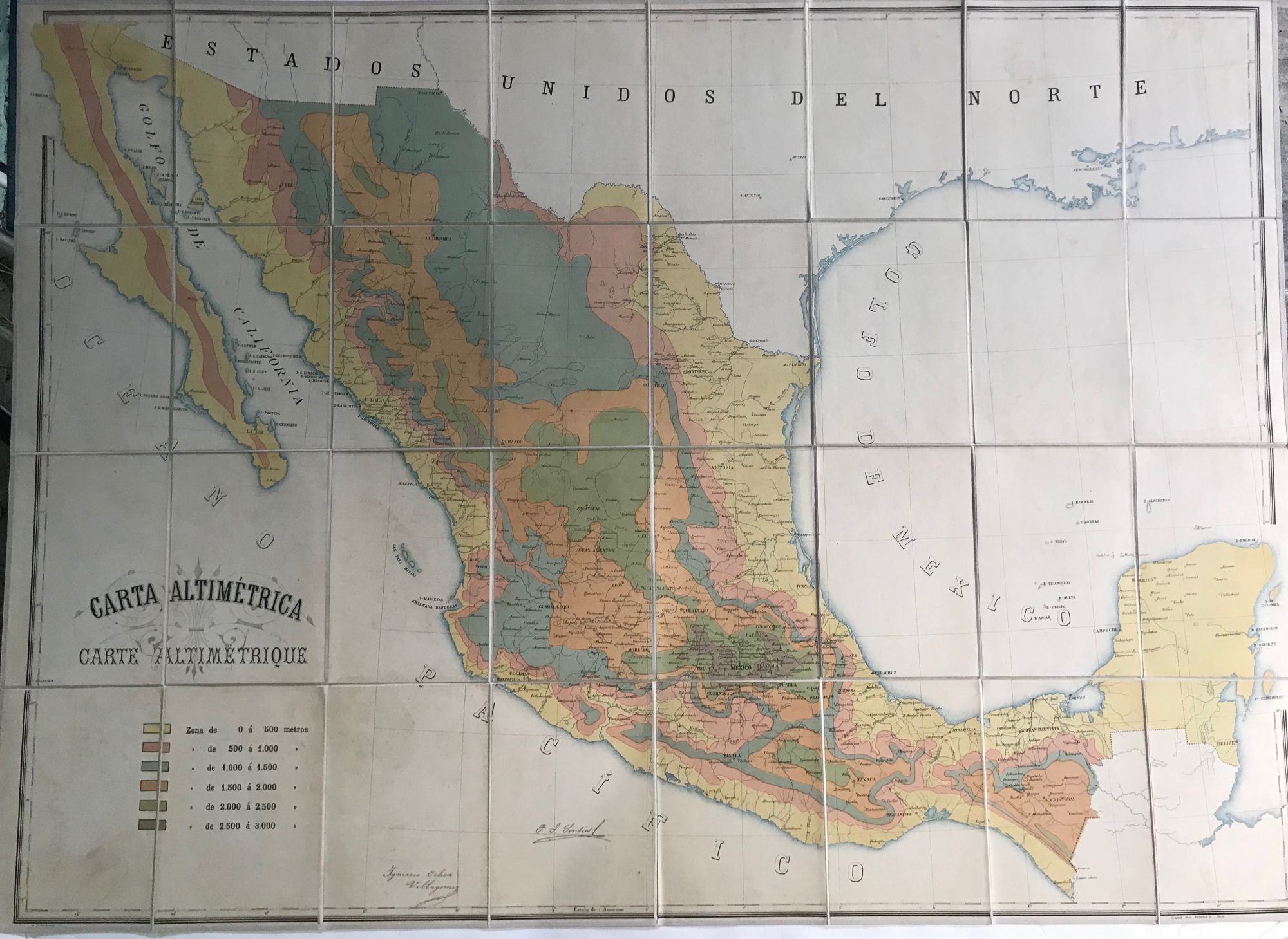
CARTA ALTIMETRICA.
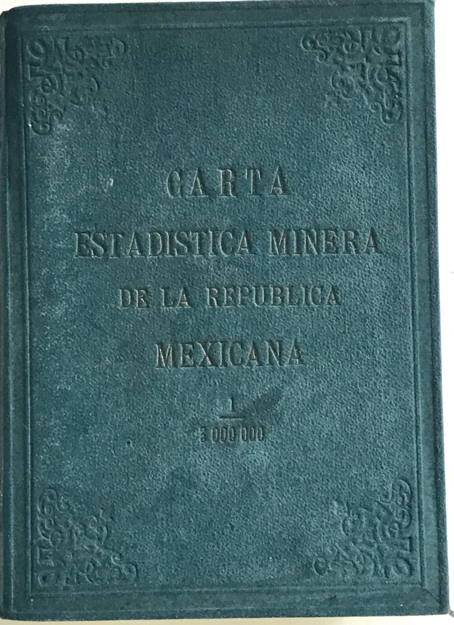
Paris: Gravee chez Monrocq, fr., A Donamette Imp. nd [1890s?]. Large folding color map of Mexico, in 32 panels, laid down on newer linen, 73 x 102 cm., tipped into a dark green cloth folder (mottled), "Repubica Mexicana 1.3,000,000 Altimetrica" on spine. Altitudes are shown by gradient tints identified in the key; rivers, cities and towns marked. Printed signatures of P.I. Senties and Igniacio Ochoa Villagomez along the lower portion of the map. Cover title: "Carta Estadistica Minera de la Republica Mexicana." Item #63665
OCLC lists three copies under the map title: Univ. of Arizona, Johns Hopkins, and Univ. of Kansas [giving dates of 1830s or 1840s]. [Two others are listed under the cover title, but with a later date of (1893?), and not mentioning Monrocq: UCLA, Indiana Univ.] Jean C. Monrocq (1819-1913) owned a printshop in Paris from 1848 on, and established a lithographic printing plant in 1874. This map was more likely done in the 1890s.
Price: $1,250.00