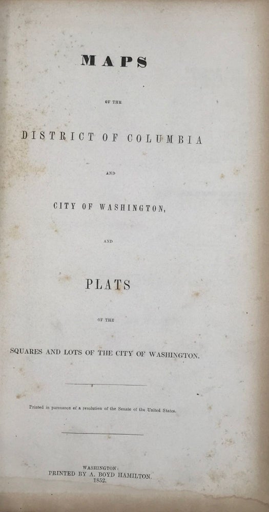
Maps of the District of Columbia and City of Washington, and Plats of the Squares and Lots of the City of Washington.; Printed in pursuance of a resolution of the Senate of the United States.
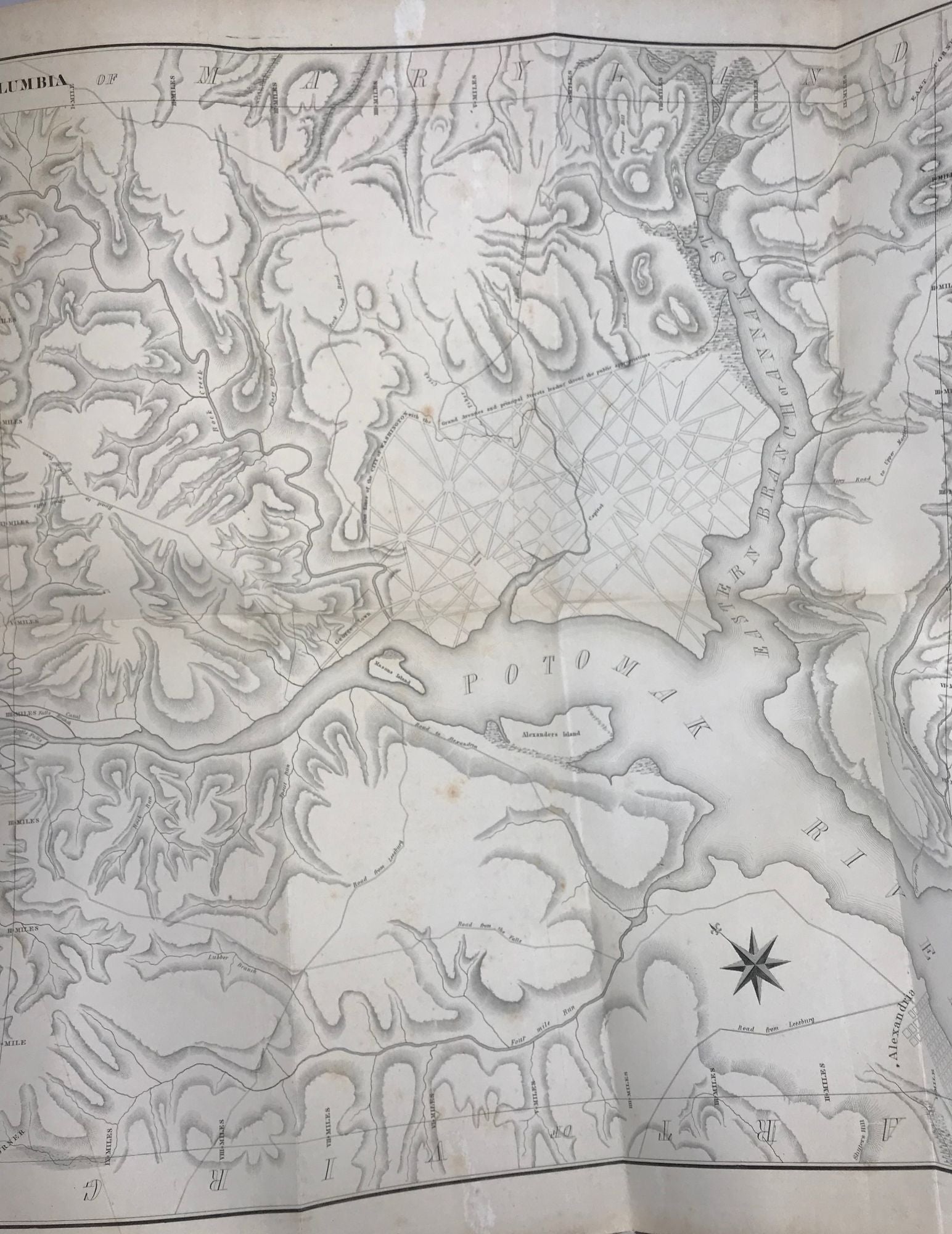
Washington, (DC): Printed by A. Boyd Hamilton, 1852. First edition. Folio. (2), 159 pp. [printed rectos only]. Three large folding maps (each backed with linen). Cover title: "Maps of Washington." Elaborate survey of the District, each page with six or more squares divided into numbered lots; the 1143 squares correspond to those represented on one of the large maps; the other two large maps are versions of Ellicott's famous maps, surveyed as the city was founded. Phillips “Atlases,” p. 266. Bryan “Bibliography of the District of Columbia,” p. 118. Original black cloth, rebacked, employing the original endpapers and with most of the original spine laid down, gilt-stamped title on upper cover. Owner’s name on front endpaper, but a good solid copy. Item #63090
Price: $2,750.00