Colton's North Carolina
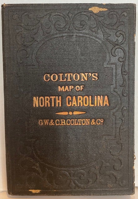
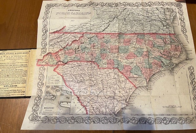
New York: G.W. & C.B Colton, 1871. Folding pocket map, first published under this imprint in 1869 (?). Broadside map of North Carolina, 13 3/4 x 16 inches, folded to 16mo (5 x 3 1/2 inches), the counties hand-colored in light shades of pink, green, and yellow, the state borders outlined in a darker pink; railroads, highways and other roads, cities, towns, and villages, rivers, creeks, and other waterways, and topographical features are located, all enclosed within an ornamental border; the front pastedown is a publisher's ad for "maps, atlases & guides books." With an inset map of "Beaufort Harbor" (2 1/2 x 2 1/2 inches). Cover title: "Colton's Map of North Carolina, G.W. & C.B. Colton & Co." Not in Phillips (which describes an 1874 edition). Cf. Laney and Hill 214 (which describes its use in a pamphlet, not as a folding pocket map). OCLC locates one copy (North Carolina). Very good. Original gilt-stamped brown cloth (several erosion spots). (#7604). Item #60474
Price: $1,250.00