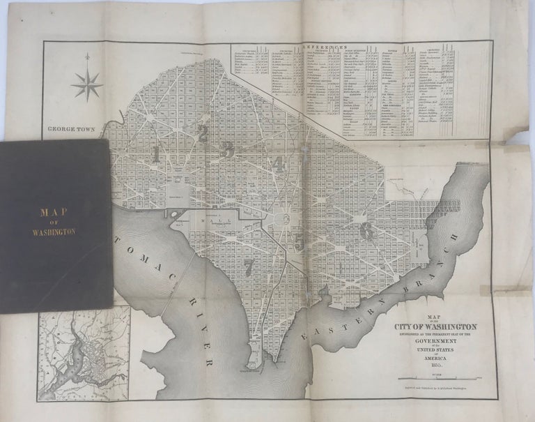
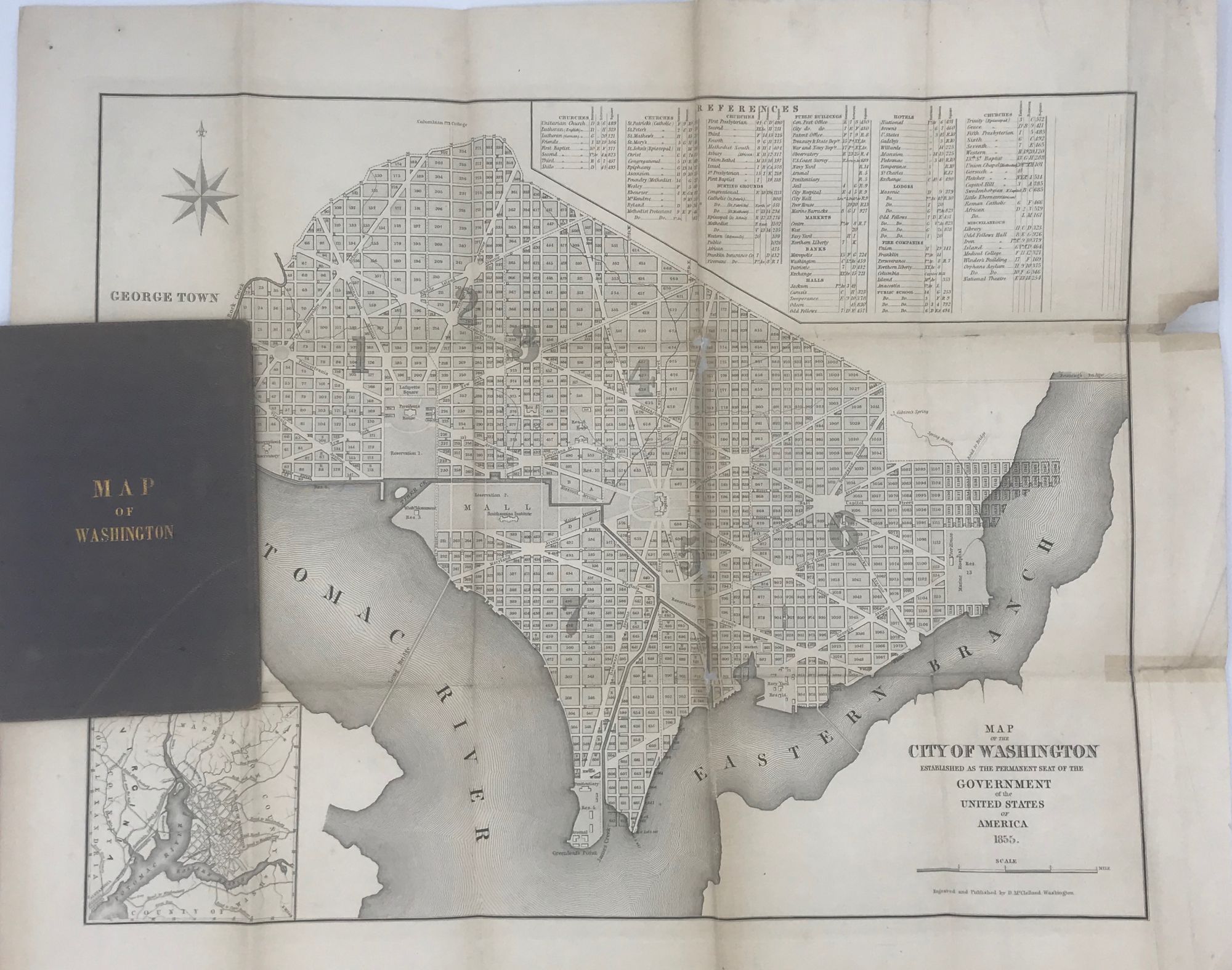
Map of the City of Washington, Established as the Permanent Seat of the Government of the United States of America
Washington, DC: Engraved and published by D. M'Clelland, 1855. Broadside map, 16 3/4 x 20 inches, a plat map of the city of Washington, with major streets named and major public and governmental buildings represented, the whole enclosed within a narrow bold rule border. Inset map
of the District of Columbia and a second inset giving references to key spots in the city (banks, churches, parks, cemeteries, etc.). Phillips, p. 1020. Not in the online Rumsey collection. OCLC locates three copies of this 1855 issue (District of Columbia Public,
Library of Congress, George Washington); previously issued in 1846 and 1850. Separation at center fold and other corner folds repaired on verso (with a little loss from the image), chip in outer margin (not affecting text); a good copy of a scarce Washington, D.C., folding pocket map. Folded into 12mo gilt-stamped cloth boards (rubbed). (#5156). Item #58202
Price: $600.00