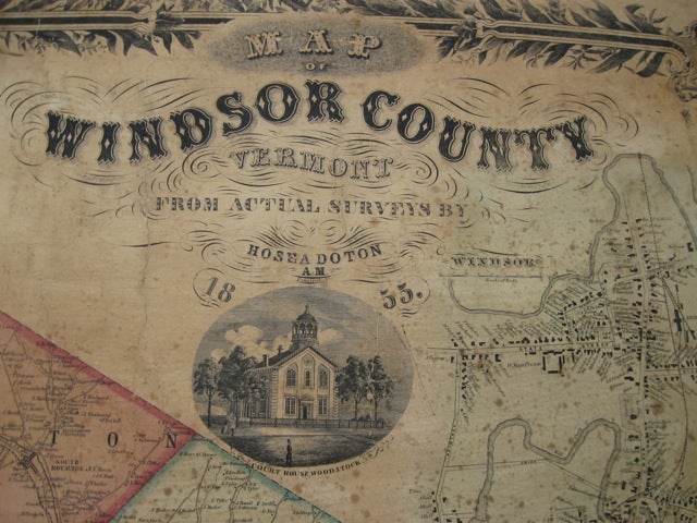
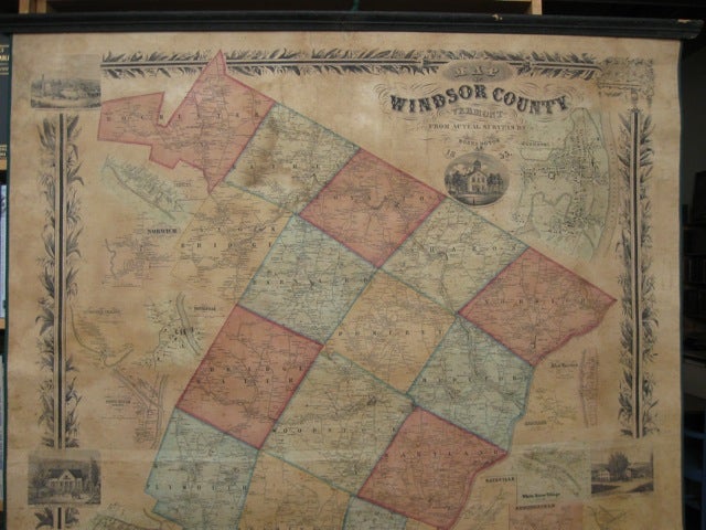
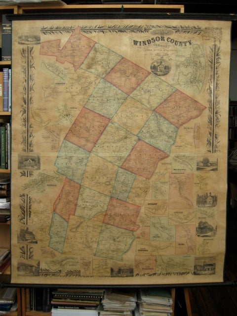
Map of Windsor County, Vermont. From actual surveys by Hosea Doton.
Pomfret, VT: (The surveyor?), 1855. First edition. Large broadside, 58 x 47 inches, townships hand-colored, the map enclosed within a wide floral border broken by 10 views (each 4 x 5 inches), mostly of Woodstock and Royalton, most of the space outside the county borders filled with 28 village plans. The map shows buildings and householders' names, mills, and other businesses. Not in Phillips. OCLC locates one copy (Old Sturbridge Research Library). Laid down on linen, with new edging and ties, original rollers. Some foxing, some restoration of the edges, but quite attractive. (1571). Item #54696
Price: $2,000.00
See all items in
Americana