
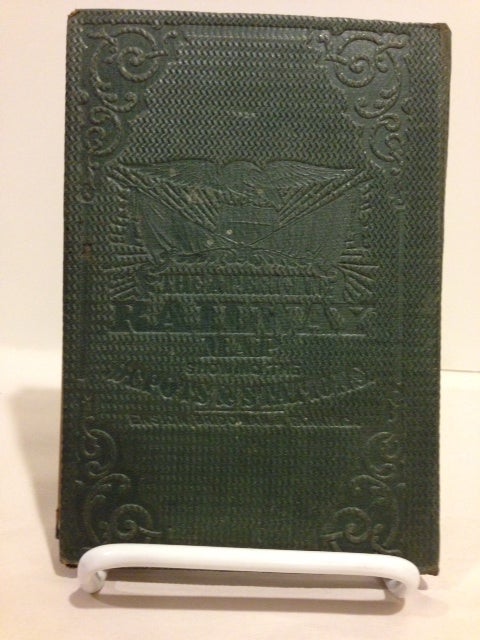
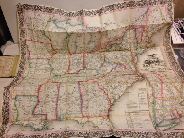
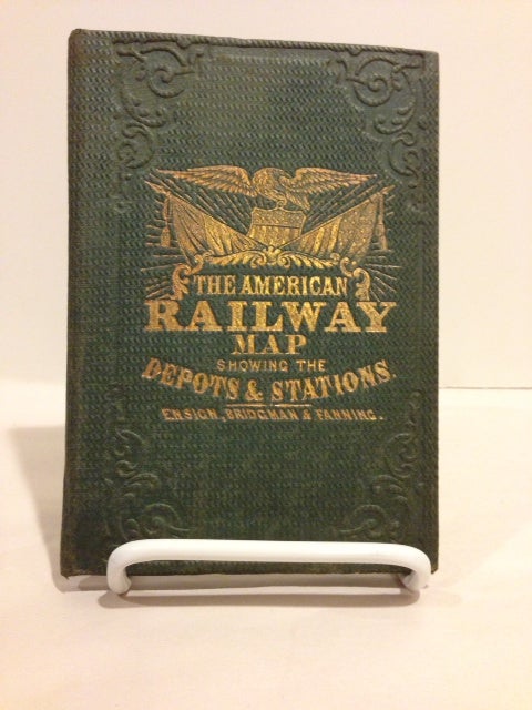
Ensign & Bridgman's Rail Road Map of the United States, Showing the Depots and Stations.
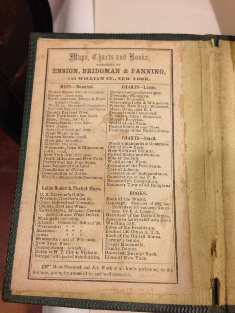
New York: Ensign & Bridgman, 1866. Third edition (first issued in 1856). Broadside map, 31 x 33 inches, picturing the United States to include those with the Mississippi River on their eastern borders, all state borders hand-colored in shades of red, blue, yellow, and green, the whole enclosed within a wide ornamental border; inset map: "Plan of the New England States" (12 x 7 1/2 inches). Cover title: "The American Railway Map, Showing the Depots & Stations." Modelski 26 (for the 1856 issue): "The completed railroad network represents actual railroad track with linear cross-hatched lines, and railroads under construction are shown as solid thin lines. Many names of railroads appear on the lines and others are keyed by number to a list of lines." OCLC locates several copies each for the earlier issues of 1856 and 1859, but this issue is apparently not recorded there. Folded into a 12mo gilt-stamped green cloth folder. Some small breaks at corner folds, but a very good copy. (2651). Item #56073
Price: $1,500.00